

- India Travelogue
- @nagarjuna_travels
Lipulekh Pass keeps appearing in news feeds, travel guides, and geography textbooks — yet most people searching for it cannot find a single source that clearly answers all four basic questions at once: which state is it in, exactly where is it on the map, how far is it from Kailash Mansarovar, and how does the distance from Lipulekh to Kailash translate into actual travel time for pilgrims. Every article seems to answer one or two of these questions and leave the rest vague. This guide answers all four, with exact distances, coordinate data, a text-based map description, and the full Lipulekh-to-Kailash distance breakdown that every pilgrim and geography student actually needs.
Lipulekh Pass Is in Which State?
Lipulekh Pass is in Uttarakhand, India. More specifically, it falls within Pithoragarh district in the Dharchula sub-division of the Kumaon division of Uttarakhand. The pass sits at the remote northeastern corner of the state, where Uttarakhand's boundary meets both the Nepal border to the west and the China (Tibet) border to the north. This location makes Lipulekh one of the most remote and strategically significant points in the entire state of Uttarakhand. No other point in Uttarakhand is simultaneously adjacent to two international borders — making Lipulekh Pass uniquely positioned in India's geopolitical and topographic map.
Administrative Location at a Glance
| Detail | Specifics |
| Country | India (disputed by Nepal) |
| State | Uttarakhand |
| District | Pithoragarh |
| Sub-Division | Dharchula (Darchula) |
| Division | Kumaon Division |
| Coordinates | ~30.3°N, 81.2°E |
| Altitude | ~5,115 to 5,334 metres (16,780 to 17,500 ft) |
| Border | India-China (Tibet) border; at India-Nepal-China trijunction |
| Nearest Indian town | Dharchula (~80 km south by road) |
| Nearest Tibetan town | Taklakot / Purang (~10-15 km north) |
Nepal contests India's administrative claim over Lipulekh, asserting it falls within Sudurpashchim Province of Nepal under the 1816 Treaty of Sugauli. India firmly rejects this position. For all Indian administrative, legal, and pilgrimage purposes, Lipulekh Pass is in the state of Uttarakhand.
Lipulekh Pass Map: How to Visualise Its Location
Since interactive maps cannot be embedded in print, here is the most precise text-based description of the lipulekh pass map position — useful for anyone using Google Maps, Satellite View, or any atlas to locate it.
How to Find Lipulekh Pass on Google Maps
- Search 'Lipulekh Pass' directly in Google Maps — it appears as a labeled location at approximately 30.3°N, 81.2°E
- Switch to Satellite View to see the pass clearly — it appears as a notch or low point in a snow-and-rock ridge line separating green-brown Himalayan terrain to the south (India) from the brown-ochre Tibetan plateau to the north
- Zoom out to see the trijunction context: the Kali River valley runs south-southwest toward Nepal; the main Tibetan plateau extends northward; the Byans Valley leads south-southeast back to Gunji and Dharchula
- The BRO road from Dharchula is visible in satellite view as a thin ribbon following the Kali River valley northward before climbing toward the pass
The Lipulekh Pass Map in Context: Surrounding Geography
Understanding the lipulekh pass map requires seeing it in the context of the three countries it connects. Lipulekh sits at the point where the Himalayan ridge line that separates India from Tibet has its lowest practicable crossing point in this entire section of the range. To its south lies the Vyas Valley (also called the Byans Valley) — the narrow gorge through which the Kali River flows, forming the India-Nepal boundary. To its north, the land opens abruptly into the vast, treeless brown expanse of the western Tibetan plateau, with the town of Taklakot (Purang) visible from the pass on a clear day.
- South of Lipulekh: Nabhidhang (viewpoint for Om Parvat), Gunji village (Adi Kailash base camp), Kalapani (origin of Kali River), Dharchula
- North of Lipulekh: Taklakot/Purang (Tibet), then northward across the Tibetan plateau toward Mansarovar Lake and Mount Kailash
- West of Lipulekh: The Nepal border — the India-Nepal boundary runs along the Kali River just west of the pass
- East of Lipulekh: The main Himalayan ridge line connecting to other peaks in the Kumaon Himalayas
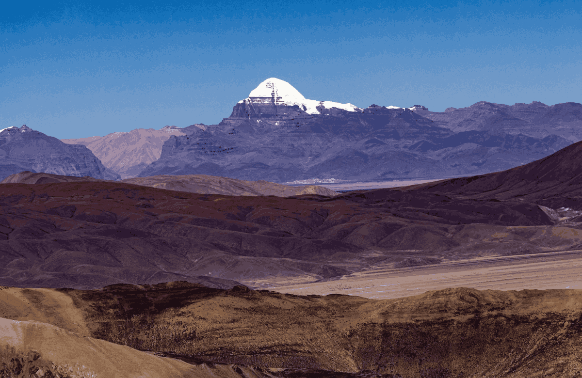
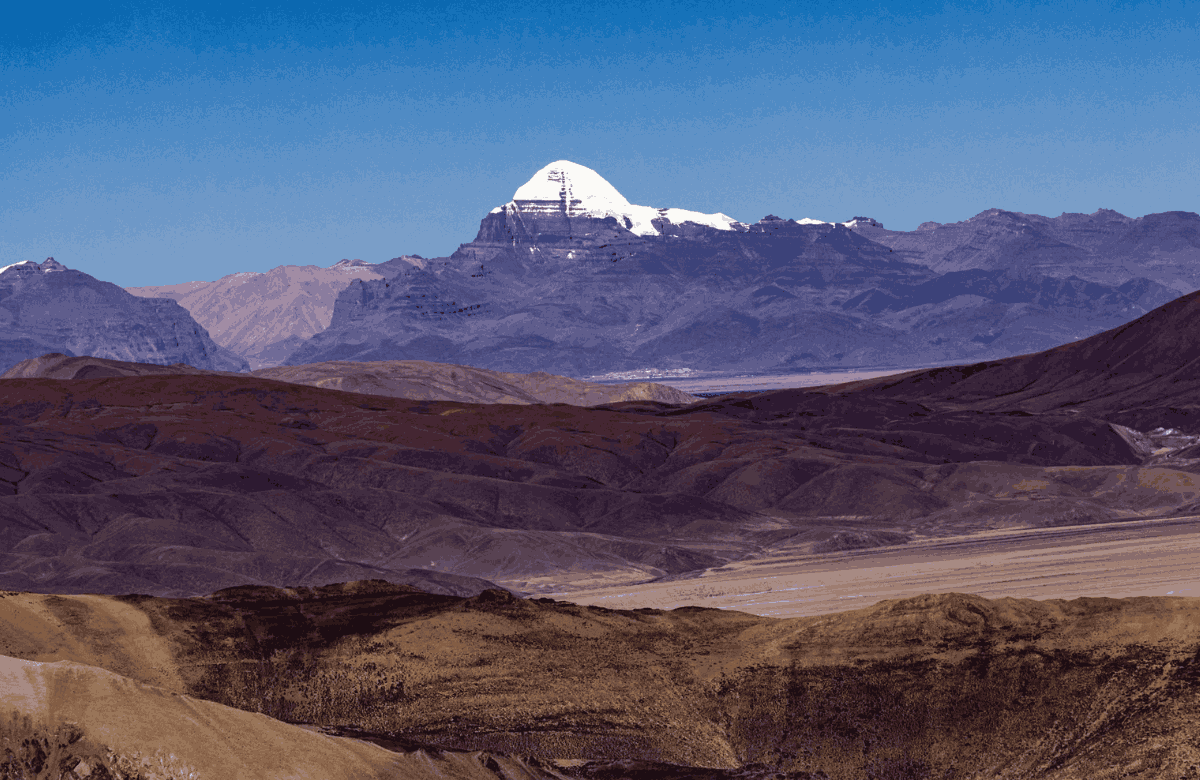
- Visible from the pass on clear days: The Tibetan plateau stretching north, Om Parvat (5,590 m) to the southwest, and Kailash is theoretically visible on exceptional days though usually obscured by distance and terrain
Lipulekh Pass to Kailash Mansarovar Distance: The Exact Numbers
This is the question most Kailash Mansarovar Yatra pilgrims are actually asking when they search for lipulekh pass. The answer involves two different measurements — the straight-line (as the crow flies) distance, and the actual road distance that pilgrims travel through Tibet after crossing the pass.
| From | To | Straight-Line Distance | Road Distance |
| Lipulekh Pass | Mount Kailash (summit) | ~97 km (NNE) | Not directly measurable by road |
| Lipulekh Pass | Taklakot / Purang (Tibet) | ~10 km | ~15 km by road (descent) |
| Taklakot / Purang | Mansarovar Lake | ~100 km (N) | ~120 km by Tibet road |
| Taklakot / Purang | Darchen (Parikrama start) | ~100 km (N) | ~125 km by Tibet road |
| Lipulekh Pass | Mansarovar Lake | ~105 km | ~135 km total via Tibet |
| Lipulekh Pass | Darchen / Kailash base | ~105 km | ~140 km total via Tibet |
| Dharchula | Lipulekh Pass | ~55 km (straight) | ~80 km by BRO road |
| Dharchula | Kailash Mansarovar (total) | ~150 km (straight) | ~330 to 380 km by road |
Note: The road distance from Lipulekh through Tibet to Kailash Mansarovar is not a single fixed number because Tibetan roads are not always direct and route conditions affect the path taken. The 330 to 380 km total (Dharchula to Kailash via Lipulekh) represents the realistic travel distance under current road conditions.
Lipulekh Pass Distance from Major Cities and Towns
For pilgrims and travellers planning the journey, here are the key distances from major origin points to Lipulekh Pass — the gateway through which the Kailash Mansarovar Yatra via the Indian route proceeds.
| Origin City / Town | Distance to Lipulekh Pass | Route Type |
| Delhi | ~600 km to Dharchula + 80 km to Pass = ~680 km | Road via Bareilly/Almora/Pithoragarh + BRO road |
| Pithoragarh (district HQ) | ~160 km to Dharchula + 80 km to Pass = ~240 km | Road through Dharchula |
| Dharchula | ~80 km by BRO road | Off-road 4x4 via Tawaghat, Gunji, Nabhidhang |
| Gunji village | ~25 to 30 km | Via Kalapani and Nabhidhang |
| Nabhidhang | ~10 to 12 km | Final Indian staging point before the pass |
| Almora | ~250 km to Dharchula + 80 km = ~330 km | Road through Pithoragarh |
| Kathgodam (Haldwani) | ~370 km to Dharchula + 80 km = ~450 km | Major railhead; road to Dharchula then BRO road |
Beyond Dharchula, the 80 km road to Lipulekh Pass is an off-road 4x4 route that typically takes 5 to 6 hours, passing through Tawaghat, Budhi, Garbyang, Gunji, Kalapani, and Nabhidhang before reaching the final approach to the pass. An Inner Line Permit (ILP) is mandatory for all Indian nationals on this stretch.
The Road from Lipulekh to Kailash: What the Journey Looks Like
After crossing Lipulekh Pass from India into Tibet, the journey to Mount Kailash continues entirely by road on the Tibetan plateau. This is fundamentally different from the Indian approach — instead of a narrow mountain road through river gorges, pilgrims find themselves on a vast, open, high-altitude plateau where the road quality improves significantly and the terrain opens up into a sweeping panorama.
Lipulekh to Taklakot (Purang): 10 to 15 km
The descent from Lipulekh Pass on the Tibetan side is steep. The town of Taklakot — known in Tibetan as Purang — is the first Tibetan settlement beyond the pass, approximately 10 to 15 km from the crossing. All pilgrims stop here for permit checks by Chinese/Tibetan border authorities. The town sits at approximately 3,900 metres — notably lower than the pass itself, which is one reason it was historically the most important trade junction in this region.
Taklakot to Mansarovar Lake: ~120 km by Road
From Taklakot, pilgrims travel north across the western Tibetan plateau toward Lake Mansarovar. The road climbs back toward 4,500 to 4,600 metres as it crosses the plateau. The journey takes approximately 3 to 4 hours by 4x4. The moment Mansarovar comes into view — a vast sapphire lake at 4,590 metres surrounded by distant snow peaks — is universally described by pilgrims as the emotional and visual centrepiece of the entire journey from Lipulekh.
Mansarovar to Darchen (Kailash Parikrama Start): ~5 km
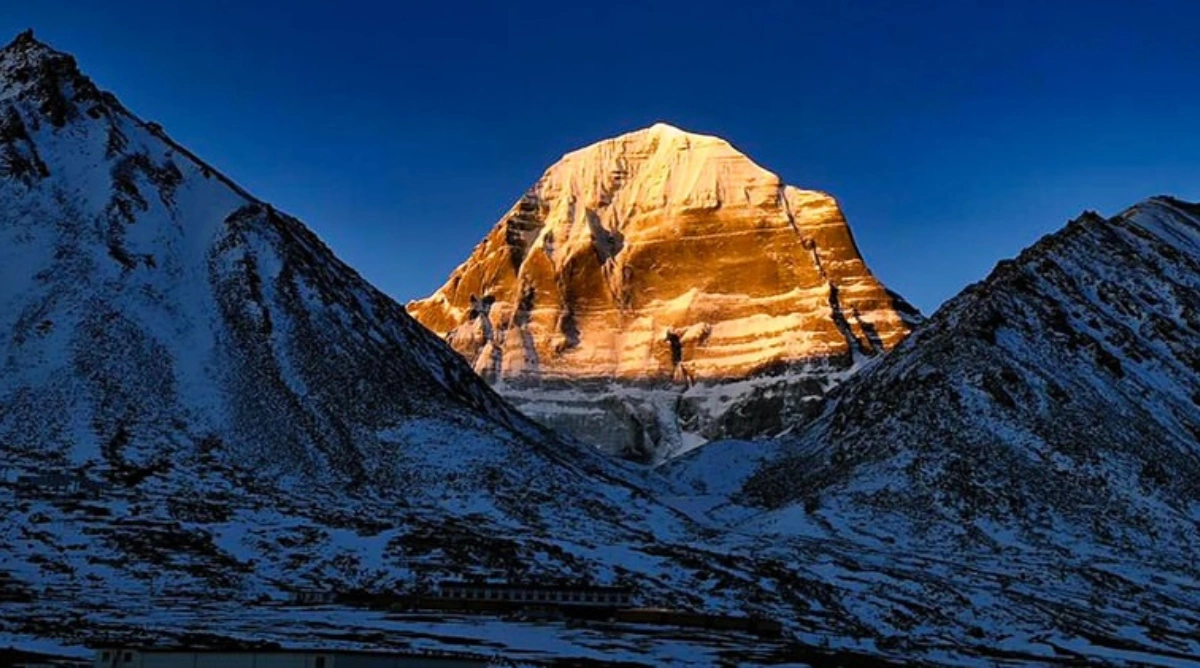
Darchen — the base town from which the 52 km Kailash parikrama begins — is just a few kilometres north of Mansarovar Lake. After the holy dip at Mansarovar, pilgrims proceed to Darchen to rest before beginning the three-day circumambulation of Mount Kailash. The mountain itself first becomes clearly visible from the road between Mansarovar and Darchen — the pyramidal summit of Kailash rising to 6,638 metres against the sky is the moment the entire journey from Lipulekh has been building toward.
Why Lipulekh Pass Matters for the Kailash Mansarovar Yatra
The distance numbers above only tell part of the story. What makes Lipulekh Pass significant for the Kailash Mansarovar Yatra is not just its position on the map — it is what it represents as a crossing point.
- Lipulekh is the only high-altitude pass on India's border with Tibet in the Kumaon Himalayan section that is road-accessible and has been officially designated for pilgrimage traffic — a status formalised in the 1954 Panchsheel Agreement between India and China
- Before the BRO road was completed in 2020, crossing Lipulekh required trekking from Nabhidhang (the last road point) to the pass on foot or by mule — adding a physically demanding final climb to what was already a long approach from Dharchula
- At 97 km from Mount Kailash in a straight line, Lipulekh is geographically the closest Indian land entry point to the sacred mountain — closer than the Nathu La Pass in Sikkim, which approaches from a different direction and is actually farther from Kailash by road
- The pass has been in continuous use for the Kailash Mansarovar Yatra since 1954 — over 70 years of unbroken pilgrimage tradition that India cited in May 2026 when rejecting Nepal's diplomatic objection to the resumed Yatra via Lipulekh
Conclusion
Lipulekh Pass — in Uttarakhand's Pithoragarh district, at coordinates 30.3°N 81.2°E, at approximately 5,200 metres above sea level — is more than a dot on a map. It is the geographic pivot between two worlds: the Indian Himalayas to the south and the Tibetan plateau to the north. It is 80 km from Dharchula by road, 97 km from Kailash in a straight line, and 135 to 140 km from the start of the parikrama by the Tibet road. For every pilgrim planning the Kailash Mansarovar Yatra via the Indian route, Lipulekh Pass is the moment of transition — the highest point of the Indian approach, the border crossing, and the first glimpse of the vast plateau that leads to the holiest mountain on earth.